


Drone Imaging & 3D Scanning

Aerial Drone Photography & 3D Scanning
Our cutting edge technology services offer invaluable benefits to attorneys, insurance adjusters, contractors, real estate professionals, and developers needing building or property scans. Aerial drone photography and 3D scans produce on-demand measurements or visualizations of current conditions. These are useful for estimate production, construction estimates, utility locations, up-to-date environmental conditions, and enhanced marketing materials.
Real Estate Services (3D Scanning & Virtual Tours) | Roof Condition Assessment | Pre-storm Photography & Imaging
Drone Imaging & 3D Scanning Projects
-
![]()
3D Scan Historic Office Renovation
-
![]()
Drone View of Damaged Roof
-
![]()
Hurricane Idalia Storm Surge
-
![]()
Roof Wind Damage Inspection
-
![]()
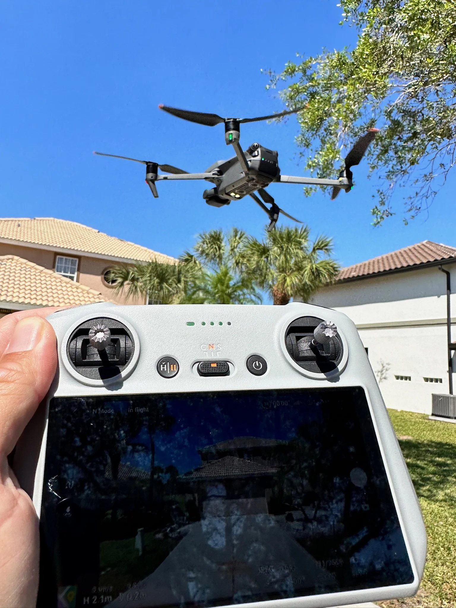
We have liftoff


Let’s get started
Click below to get in touch or submit an assignment.